
Mail Coach Road Map.
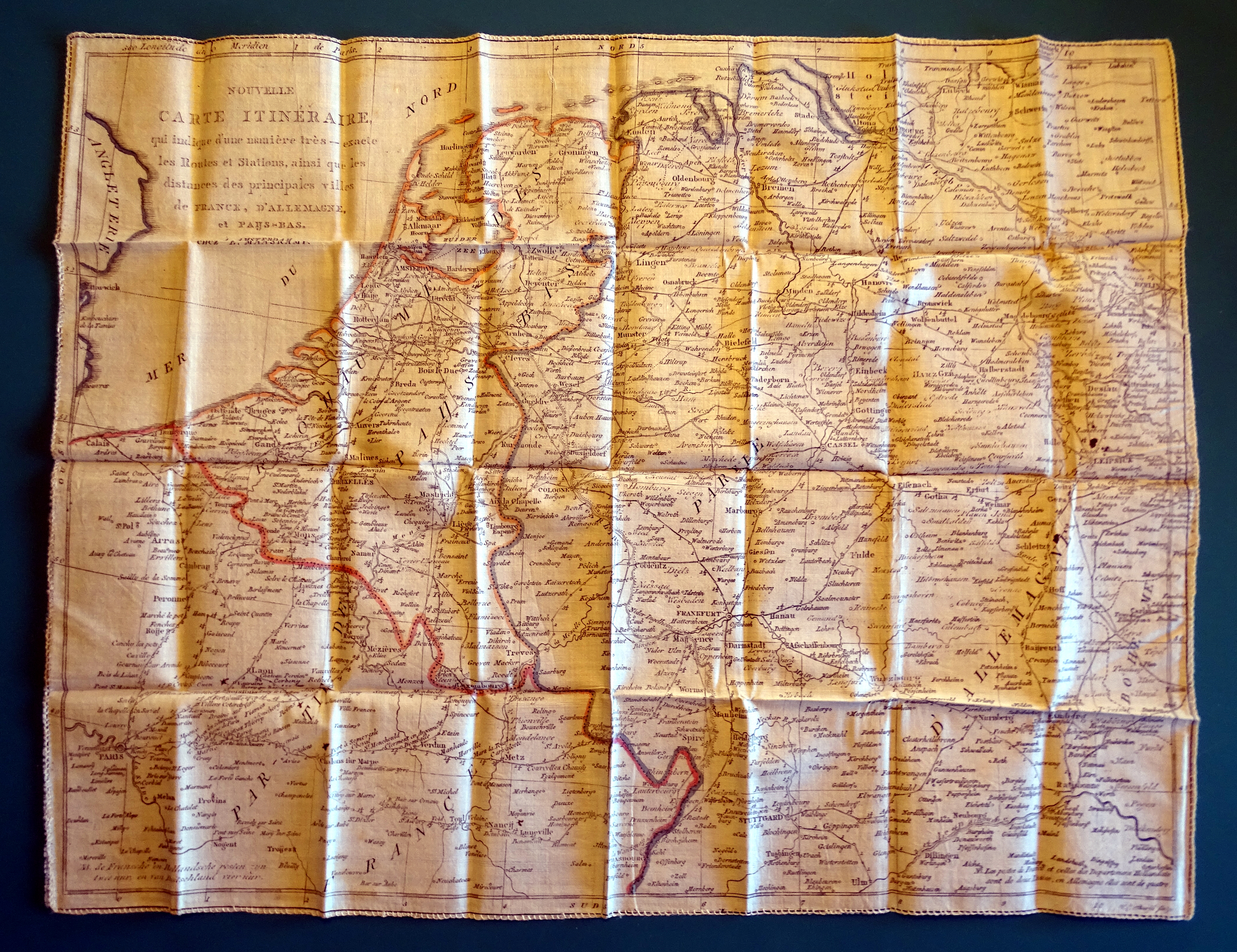 Front of the map.
It is the time of Thurn and Taxis, the golden era of postal services.
Here was this magnificent Travel Map, printed on silk or fine cotton.
This Ultra Rare Roadmap was printed in Amsterdam by Chez E. Maaskamp.
It is a foulded map covered by a slipcase and weights 28gram only.
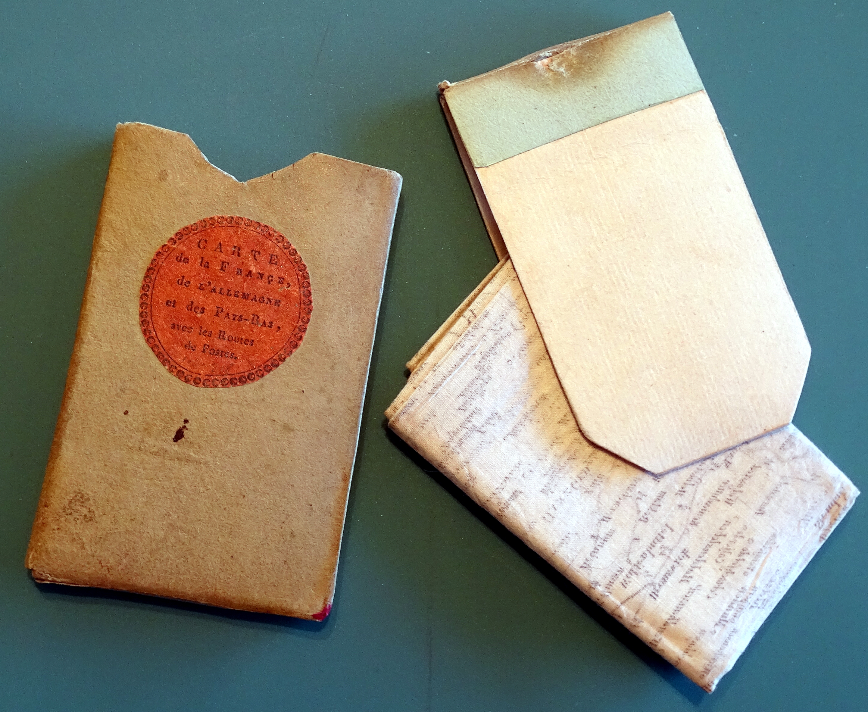 Slipcase with folded map.
Perfect for traveling and storing in a pocket. The case is in used condition, but
the, over 200 year old, map looks in immaculate condition, like a youngster.
For sure a Museum worthy collectors item.
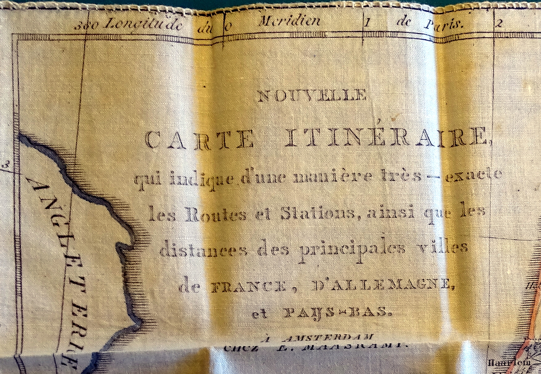 Title of the map.
And an important part of postal history, a sought after collectors item.
It is in authors rarity collection and now for sale.
See also the post „From Stagecoach to Taxi“.
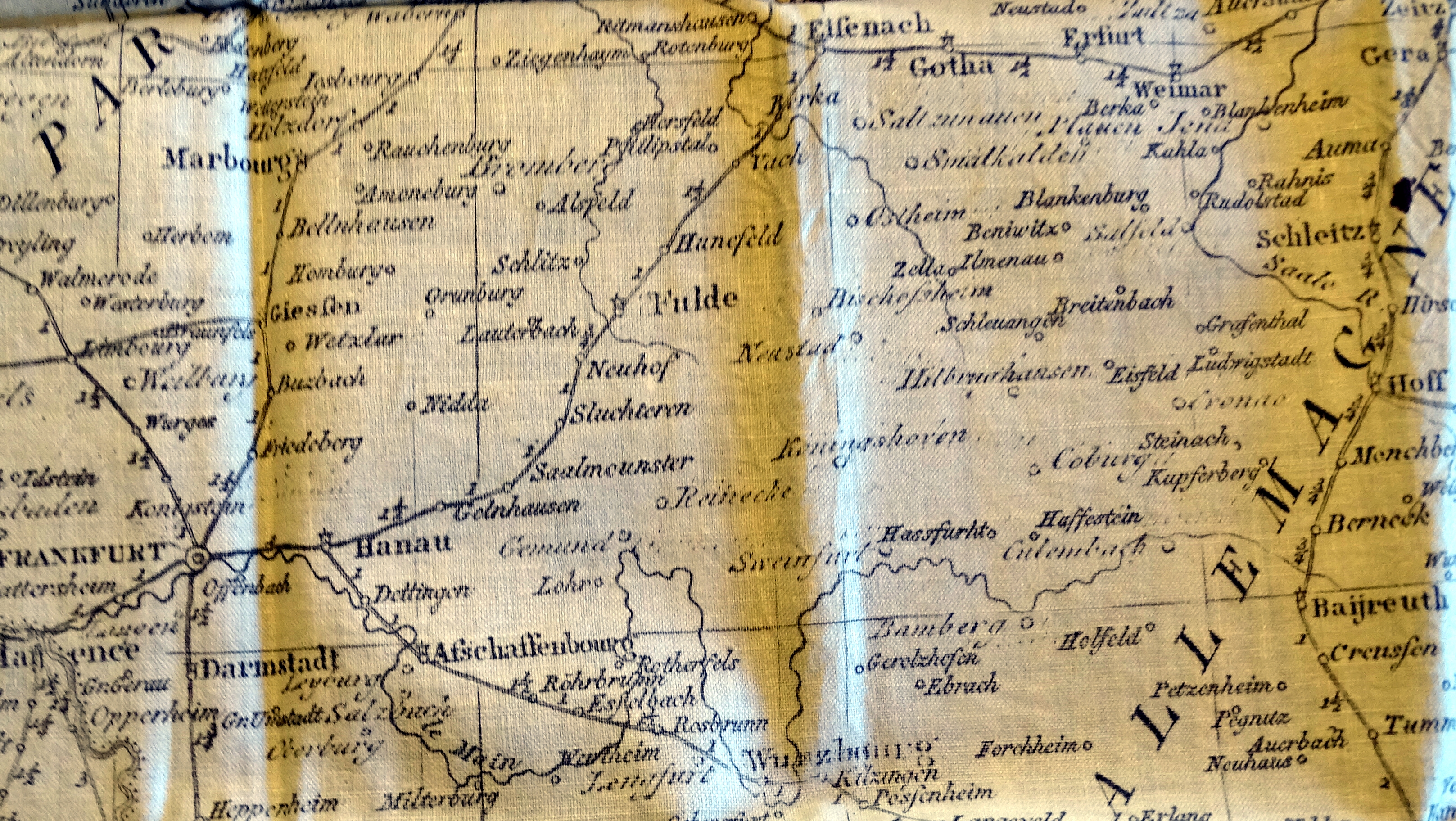 Detail of map with stations.
This Carte Itineraire, printed 1806-1810, also includes the Netherlands to the
Kingdom „Napoleon Bonaparte“. From 1813 to 1815, the „United Kingdom of the
Netherlands“ under King Wilhelm I was established. From about 1800 to 1825
(the first railways were on) was the „golden era of the stagecoach“.
In England it was the „Regency Period“. Carriages became, out of primitive
companions, elegant, comfortable touring cars. Also, the roads had a positive
impact the travel speeds. The areas in Central Europe were soon so-called
by a dense network.
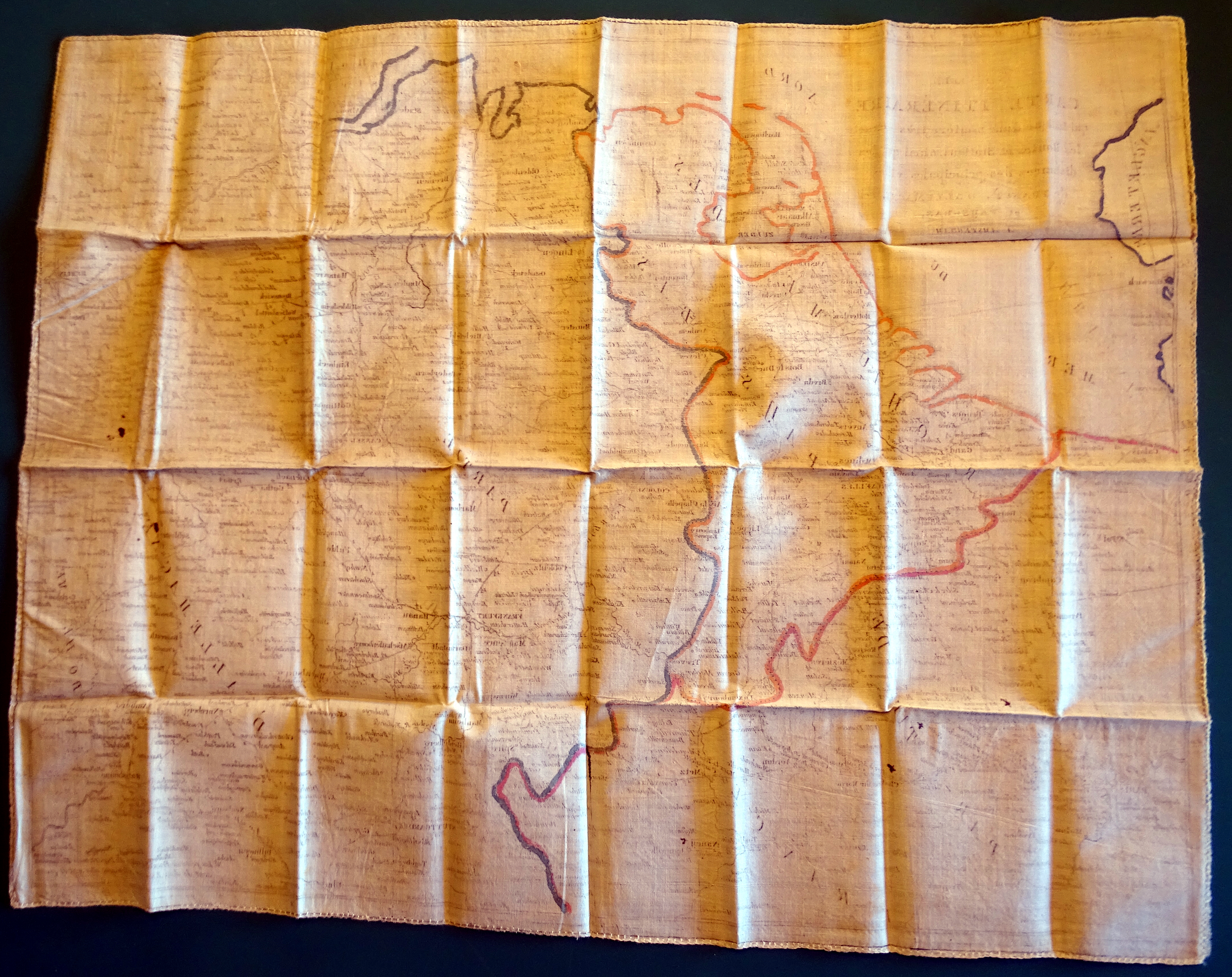 Rearside of the map.
The map shows travel stations (posts = post stations) and distances in travel
hours. The area covered from Hamburg to Ulm and from Leipzig to Paris,
including the whole Be-ne-lux country’s. This map is in TOP-condition.

